
Records Around Bothell Neighbors
Different sources describe different parts of a block. Parcel maps show lot outlines and connect each selected parcel to a property report. Assessor reports name owners and show situs and tax mailing fields. Recorded plats and easements explain shared legal features. Community sites show public rules, board contacts, and notices, while voter information is governed by strict Washington access and use rules.
| Source | Block evidence | How to reach it |
|---|---|---|
| King Parcel Viewer | Nearby parcel outlines, IDs, zoning and address points | Free map; open assessor report for owner data |
| Snohomish SCOPI | Selected lots, owners, taxpayers, acreage, value and tax code | Free map and account summary |
| County assessor reports | Owner, situs, mailing address, legal text, structures and sales | Free web reports; records request for gaps |
| County recorder | Transfers, plats, easements, liens and shared legal context | Online by cutoff; counter, mail or microfilm earlier |
| Voter records | Fields permitted by Washington law | MyVote is personal; full file has political-use limits |
| Association sites | Public contacts, rules, plans and notices | Public pages; owner areas may require login |
No source in the research provides an automatic radius list of Bothell neighbors. Build a small, manual set by clicking adjacent parcels. An owner may live elsewhere, and a renter or family member may not appear in the owner roll. Mailing and situs addresses must be read as separate fields.
Bothell Neighbors Across Counties
Bothell crosses King and Snohomish counties. A street segment can therefore send adjacent lots to different assessors, recorders, courts, elections offices, and archives. A Bothell postal label does not settle the issue. Verify the map location and county for each parcel before collecting names or documents.
King County uses Parcel Viewer and eReal Property. Snohomish County uses SCOPI and Property Summary Search. The fields overlap, but the systems are not one combined Bothell directory. Even ZIP, school, precinct, and private-association boundaries can split a block differently.
Note: Treat city planning neighborhood names as search terms, not proof that a home belongs to a formal association.
Map Bothell Neighbors by Parcel
Use the target lot as the center, then move one parcel at a time. King Parcel Viewer can select parcels by line, freehand line, polygon, or freehand polygon and export selected information. Snohomish SCOPI supports map browsing and links a selected parcel to its account summary. Neither map is a legal survey.
- Search the full or partial address and select the correct parcel.
- Record its county, parcel ID, situs address, and legal description.
- Click the lots that directly touch it, then open each assessor report.
- Separate owner, taxpayer, situs, and mailing fields. Do not label any owner as an occupant without support.
- Use a recorded plat or legal description when the map edge or lot relationship matters.
King selection tools make a hand-built block set easier to export. SCOPI can show parcel ID, property address, owner, taxpayer, acreage, market value, and tax code area. For the full length of a road, use the Bothell street directory workflow instead.
This King Parcel Viewer example shows a selected parcel and surrounding lots.
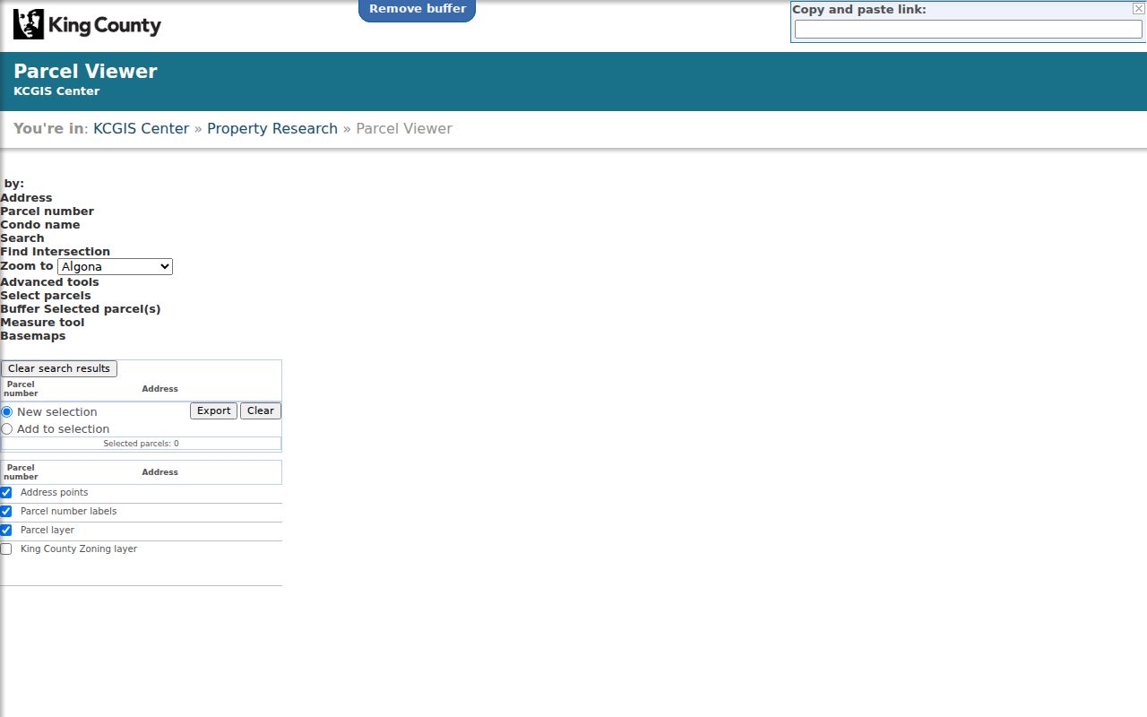
The image illustrates the manual parcel method. The sample PIN is only a visual example and is not a directory of people.
Recorded Clues for Bothell Blocks
Once the parcels are known, the correct recorder can show deeds, plats, easements, liens, surveys, and condominium records tied to a lot or legal description. These records explain common access, subdivision boundaries, and transfers. They do not prove every person living nearby.
King Landmark covers most documents from August 1, 1991, while earlier work moves to King County Archives. Snohomish online documents mostly begin in July 1976, with terminals, microfilm, staff research, and written requests for older material. Images may be viewed online where available, and official copies come from the custodian through its account, mail, or counter process.
A plat is a recorded map that divides land into lots and blocks. An easement gives a stated right to use part of another parcel. Both can explain why neighboring lots share a lane, utility strip, or greenbelt without saying who occupies either home.
Bothell Community Contacts, Not Rosters
Local association pages can add public context after the parcel work. They may publish board contacts, governing documents, plans, greenbelt notes, or event notices. Research found no complete public member roster. A nearby address does not prove membership, and an owner-login area should remain private.
| Community source | Public material found | Roster status |
|---|---|---|
| North Creek Homeowners Association | CCRs, bylaws, site plans, articles and greenbelt details | No public member roster located |
| North Creek Park HOA | Board and volunteer announcements | No public directory located |
| North Creek Heights HOA | Documents, bylaws and architecture material | No public roster located |
| Foxwood Meadows HOA | Introduction, resources and notices | No public roster located |
| Canyon Ridge HOA | Manager contact and public documents | No public roster located |
The North Creek association site shows the sort of public community detail available.
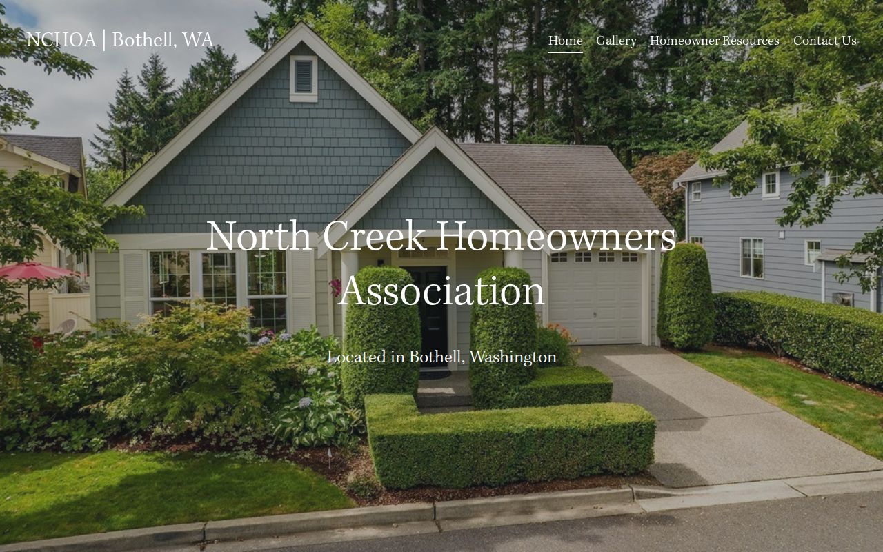
The page supplies plans and community facts, not a list of Bothell neighbors.
Bothell Neighbor Voter Boundaries
RCW 29A.08.710 permits specified voter fields, including name, address, jurisdiction, gender, birth year, voting history, registration date, and registration number. Full birth date, state identification data, and Social Security number stay confidential. Washington does not register voters by party, and no ballot choice becomes public.
MyVote is a personal voter-information workflow, not a public search for everyone on a Bothell block. A full voter database extract requires a request and is restricted to political purposes under state law. ACP-protected voter addresses are withheld or replaced where the law applies. Never harvest or publish a block roster.
Note: Voter registration can support a lawful, narrow inquiry, but it cannot supply a complete list of occupants or property owners.
Official Bothell Neighbor Sources
Official sources and commercial neighbor tools answer different questions. County records identify the custodian, field meanings, dates, and copy routes. Commercial compilations merge data from many places, may be stale, and do not replace a deed, assessor report, or certified record.
| Choice | Strength | Limit |
|---|---|---|
| County parcel and assessor record | Primary owner, parcel and legal fields | Ownership is not occupancy |
| Recorder or auditor index | Recorded instrument trail and official copy route | Online cutoff and indexing gaps apply |
| Community organization page | Public contacts, plans, rules and notices | Not a member or resident roll |
| Commercial compilation | May combine broad name and address clues | Accuracy, cost and update timing vary |
Use a compilation only as an unverified clue. Return to the office that created the record before drawing a conclusion about a Bothell parcel or person.
Privacy for Bothell Neighbors
Public property data does not reveal every renter, child, relative, guest, or other occupant. Utility customer, delivery, and DMV address data are not a public block roster. Washington's Address Confidentiality Program can substitute an address and protect the actual location for qualifying participants. Protection also reaches specified voter and marriage records.
The Washington Public Records Act does not erase those limits. Agencies may redact exempt information, and a request cannot turn restricted private data into an open directory. If a source is silent, report that it did not identify a person. Do not fill the gap with a guess.
Lawful use. Look up Bothell neighbors only for lawful civic, historical, reconnection, or personal-safety reasons. Never watch, harass, threaten, or expose another person.
Bothell Block Records by Request
Permit and code files can add a public, address-keyed layer to a small block study. They may show work dates, parcel references, the nature of a project, and applicant or contractor fields that remain public. The City of Bothell is the custodian for its own municipal records. County permit systems apply only where that county has jurisdiction, so confirm that point before filing.
Use the Bothell records-request portal when a city file is not available through a direct search. Give the street address, parcel number, a clear record type, and a reasonable date range. RCW 42.56.520 generally requires an agency response within five business days, but that response may be a link, an estimate, or a denial with a legal basis. Redaction and copy fees can apply.
Public request access does not turn a permit contact into a resident. It also does not open utility customer records, protected addresses, or private association files. Use the result to explain the block's built history or civic record, then verify any person-related conclusion in an appropriate primary source.
The city clerk coordinates municipal public records, while county assessors and recording offices remain responsible for parcel and deed evidence. Keep those custodians separate in your notes. A city permit number should be cited as a city record, and a recording number should be cited to King or Snohomish County. Clear citations make later corrections possible when a portal changes or a record is amended.
If the request produces no responsive file, preserve that answer with its date and wording. It means only that the named office did not find a record within the request. It does not establish who lived on the block, who belonged to an association, or whether another custodian holds related material.